Latest Landsat looks twice as sharp
REMOTE SENSING
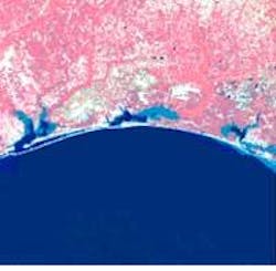
Landsat 7, launched in April by NASA Goddard Space Flight Center (Greenbelt, MD), captured new images of Florida`s Gulf coast from Panama City to Pensacola. Images are at twice the resolution of previous Landsat photos and can clearly show such ground details as airport runways, dams, rivers, and highways (see image).
The main improvement of Landsat 7 over its six predecessors, dating back to 1972, is the addition of a new instrument, the Enhanced Thematic Mapper Plus (EMT+). An eight-band, multispectral scanning radiom eter, the EMT+ images Earth in wavelengths from 0.4 to 12.5 ?m. Resolution in most bands is 30 m, although it is 60 m in the range from 10.4 to 12.5 ?m. Older Landsats had a resolution of 120 m in that range. A panchromatic band, which extends through the visible into the near-infrared-520 to 900 nm-has a spatial resolution of 15 m.
The Landsat 7 also duplicates the instruments carried on older satellites-the Multispectral Scanner, which has flown on all previous missions, and the Thematic Mapper, which was on Landsats 4 and 5 and enhanced for Landsat 6. The duplication allows scientists to compare new images with old and eliminate effects caused by changes in the instruments. The satellite orbits at an angle of 98.2? to the equator, so it always crosses the equator, heading south, at 10 am local time; the sunlight in different images, therefore, is always falling at about the same angle. Onboard solar-calibration data allow scientists to radiometrically correct their images to an absolute accuracy of 5%. The satellite follows the World Wide Reference System, breaking down all the world`s land into a collection of 57,784 scenes, each 183 by 170 km. It revisits each of these scenes once every 16 days.
The continuity of data allows researchers to track all sorts of changes across time.

